The Port of Townsville Limited (POTL) are undertaking the Channel Upgrade Project (CU Project). The CU Project involves widening the existing entrance channel to the Port through capital dredging activities to enable access for vessels up to 300 m in length at a cost of approximately $232 million. The existing 92 m wide channel will be widened to 180 m at the Platypus Channel (Port end) tapering to 120 m offshore. The dredge material will be reclaimed within a ~62 hectare area immediately adjacent to existing Port lands constructed of rock walls and revetments.
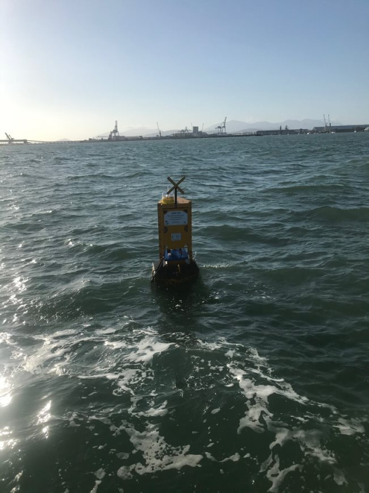
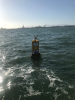
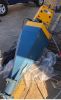
Water quality monitoring at 13 different coral and sea-grass sites in Cleveland Bay and Halifax Bay began in July 2019 to collect baseline data prior to dredging, with POTL contracting GHD to undertake the works. POTL transitioned to using telemetered sites in August 2021 to provide real-time data during the dredging for the purpose of minimising potential impacts to sensitive receptors (i.e. corals and seagrass). O2 Marine (O2M) and Campbell Scientific Australia (CSA) were subcontracted through GHD to build custom monitoring buoys that communicate data from multiple water quality instruments and sensors mounted to frames on the substrate to measure parameters required in accordance with Project approval specifications. In addition, one intertidal telemetered site was established using a CSA weatherproof enclosure mounted to a pole above the water line, with custom data cables provided by O2M. The water quality instruments were provided by In-Situ Marine Optics (IMO) and the JCU Marine Geophysics Laboratory.
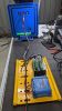
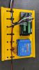
Real-time monitoring required O2M and CSA to automate data quality control, processing and post-hoc calculations to enable raw data to be compared to trigger levels designed to manage dredging activities for potential environmental impacts on sensitive receptors. The online data is presented and managed by O2M on their EagleIO Data Storage and Visualisation Platform (DSVP).
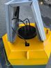
GHD were awarded the Tailwater Monitoring Program (TWMP) for the CU Project in April and monitoring commenced in May 2021. The TWMP involves telemetered monitoring of marine water parameters within and immediately outside the reclamation area. O2M and CSA were subcontracted by GHD to provide two custom designed buoys, similar to those used for monitoring water quality on the dredging program, to be deployed immediately outside the discharge pipeline from the reclamation area. Within the reclamation area, CSA provided two telemetered weatherproof enclosures for mounting on poles sited above the bund of the reclamation pond, with custom data cables supplied by O2M to connect water quality instruments inside the pond. One telemetered unit connects to a Vega radar water level mounted on a surveyed pole above the water line to measure changes in water height during spoil reclaim activities. This telemetered unit also connects to a surface Welabs PAR instrument.
The second telemetered site is mounted in front of the weir within the reclamation area measuring multiple water quality parameters for management of acid sulphate soils and turbidity generation to prevent potential environmental impacts in adjacent marine waters from discharges out of the reclamation area. Similar to the dredging program, real-time raw data was configured to automatically undergo quality control processing and post-hoc calculations for comparison to trigger levels and the online data is presented and managed by O2M on their EagleIO Data Storage and Visualisation Platform (DSVP).